
Maarssen topographic map
Interactive map
Click on the map to display elevation.
About this map
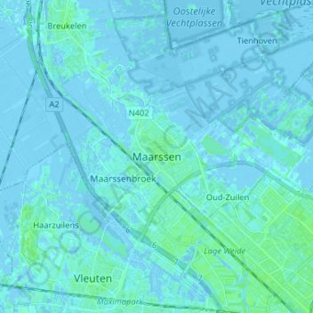
Name: Maarssen topographic map, elevation, terrain.
Location: Maarssen, Utrecht, Nederland, 3603CM, Nederland (52.09848 5.00008 52.17848 5.08008)
Average elevation: 1 m
Minimum elevation: -5 m
Maximum elevation: 5 m