
Baambrugge topographic map
Interactive map
Click on the map to display elevation.
About this map
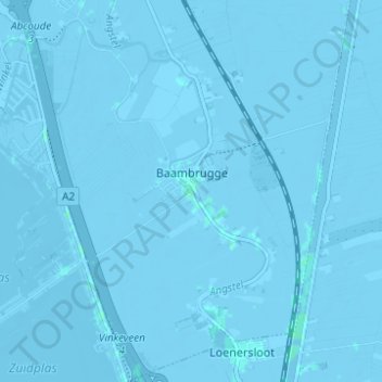
Name: Baambrugge topographic map, elevation, terrain.
Location: Baambrugge, De Ronde Venen, Utrecht, Nederland (52.22685 4.96432 52.26468 5.01259)
Average elevation: -2 m
Minimum elevation: -6 m
Maximum elevation: 3 m