
Laakdal topographic map
Interactive map
Click on the map to display elevation.
About this map
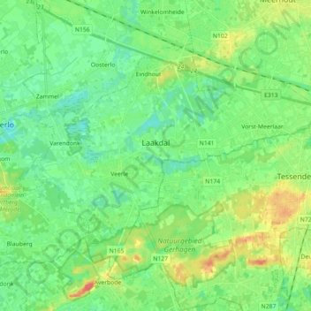
Name: Laakdal topographic map, elevation, terrain.
Location: Laakdal, Turnhout, Antwerp, Flanders, Belgium (51.03487 4.92852 51.11599 5.10651)
Average elevation: 21 m
Minimum elevation: 5 m
Maximum elevation: 52 m