
Meerhout topographic map
Interactive map
Click on the map to display elevation.
About this map
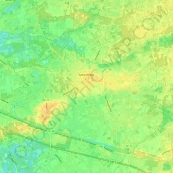
Name: Meerhout topographic map, elevation, terrain.
Location: Meerhout, Turnhout, Antwerp, Flanders, 2450, Belgium (51.09804 5.01119 51.15955 5.13022)
Average elevation: 23 m
Minimum elevation: 11 m
Maximum elevation: 35 m