
Blue Springs topographic map
Interactive map
Click on the map to display elevation.
About this map
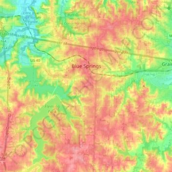
Name: Blue Springs topographic map, elevation, terrain.
Location: Blue Springs, Jackson County, Missouri, USA (38.94369 -94.33711 39.06624 -94.22120)
Average elevation: 274 m
Minimum elevation: 228 m
Maximum elevation: 310 m