
Lodève topographic map
Interactive map
Click on the map to display elevation.
About this map
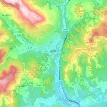
Name: Lodève topographic map, elevation, terrain.
Location: Lodève, Hérault, Occitania, Metropolitan France, 34700, France (43.69426 3.25223 43.76397 3.34241)
Average elevation: 306 m
Minimum elevation: 122 m
Maximum elevation: 658 m