
Subarnapur topographic map
Interactive map
Click on the map to display elevation.
About this map
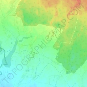
Name: Subarnapur topographic map, elevation, terrain.
Location: Subarnapur, Thori, पर्सा, Madhesh, Népal (27.20577 84.68857 27.24886 84.74588)
Average elevation: 132 m
Minimum elevation: 111 m
Maximum elevation: 163 m