
Montegrande topographic map
Interactive map
Click on the map to display elevation.
About this map
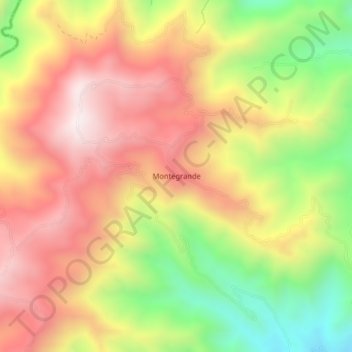
Name: Montegrande topographic map, elevation, terrain.
Location: Montegrande, Alvarado, Tolima, Colombia (4.58784 -75.03905 4.62784 -74.99905)
Average elevation: 1,074 m
Minimum elevation: 588 m
Maximum elevation: 1,478 m