
Portarlington topographic map
Interactive map
Click on the map to display elevation.
About this map
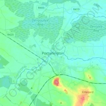
Name: Portarlington topographic map, elevation, terrain.
Location: Portarlington, County Laois, Leinster, R32 HR67, Ireland (53.12222 -7.23111 53.20222 -7.15111)
Average elevation: 72 m
Minimum elevation: 60 m
Maximum elevation: 128 m