
Hinterrhein topographic map
Interactive map
Click on the map to display elevation.
About this map
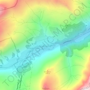
Name: Hinterrhein topographic map, elevation, terrain.
Location: Hinterrhein, Viamala, Grauwbunderland, 7438, Zwitserland (46.51074 9.17935 46.55074 9.21935)
Average elevation: 2,021 m
Minimum elevation: 1,554 m
Maximum elevation: 2,839 m