
Ladue topographic map
Interactive map
Click on the map to display elevation.
About this map
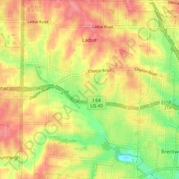
Name: Ladue topographic map, elevation, terrain.
Location: Ladue, Saint Louis County, Missouri, 63124, USA (38.60966 -90.40603 38.66122 -90.34877)
Average elevation: 169 m
Minimum elevation: 127 m
Maximum elevation: 199 m