
Grevenmacher topographic map
Interactive map
Click on the map to display elevation.
About this map
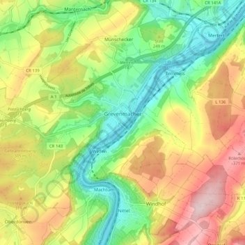
Name: Grevenmacher topographic map, elevation, terrain.
Location: Grevenmacher, Canton Grevenmacher, Luxembourg (49.65406 6.36019 49.69984 6.46106)
Average elevation: 246 m
Minimum elevation: 129 m
Maximum elevation: 399 m