
Llandough topographic map
Interactive map
Click on the map to display elevation.
About this map
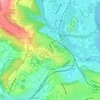
Name: Llandough topographic map, elevation, terrain.
Location: Llandough, Vale of Glamorgan, Wales, United Kingdom (51.44117 -3.21142 51.45897 -3.18768)
Average elevation: 35 m
Minimum elevation: 1 m
Maximum elevation: 112 m