
Ingleside topographic map
Interactive map
Click on the map to display elevation.
About this map
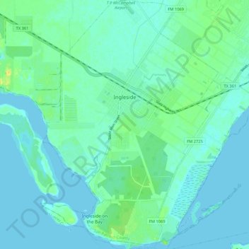
Name: Ingleside topographic map, elevation, terrain.
Location: Ingleside, San Patricio County, Texas, 78362, United States (27.81948 -97.24300 27.91286 -97.17005)
Average elevation: 5 m
Minimum elevation: -2 m
Maximum elevation: 22 m