
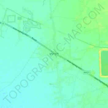
ស្រុកពួក topographic map
Interactive map
Click on the map to display elevation.
About this map
Name: ស្រុកពួក topographic map, elevation, terrain.
Location: ស្រុកពួក, ស្រុកពួក, ខេត្តសៀមរាប, Kambodscha (13.40121 103.68797 13.48121 103.76797)
Average elevation: 13 m
Minimum elevation: 6 m
Maximum elevation: 31 m