
Port Arthur topographic map
Interactive map
Click on the map to display elevation.
About this map
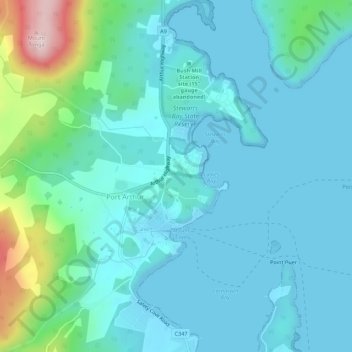
Name: Port Arthur topographic map, elevation, terrain.
Location: Port Arthur, Tasmania, 7182, Australia (-43.16120 147.83201 -43.12120 147.87201)
Average elevation: 58 m
Minimum elevation: -1 m
Maximum elevation: 356 m