
Narayani topographic map
Interactive map
Click on the map to display elevation.
About this map
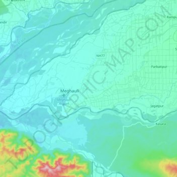
Name: Narayani topographic map, elevation, terrain.
Location: Narayani, Bharatpur, चितवन, Bagmati Pradesh, Népal (27.55175 84.15729 27.61464 84.34500)
Average elevation: 178 m
Minimum elevation: 135 m
Maximum elevation: 498 m