
Sondrio topographic map
Interactive map
Click on the map to display elevation.
About this map
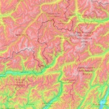
Name: Sondrio topographic map, elevation, terrain.
Location: Sondrio, Lombardy, Italy (46.01136 9.24698 46.63535 10.63276)
Average elevation: 1,907 m
Minimum elevation: 62 m
Maximum elevation: 3,924 m
Other topographic maps
Click on a map to view its topography, its elevation and its terrain.