
Tifton topographic map
Interactive map
Click on the map to display elevation.
About this map
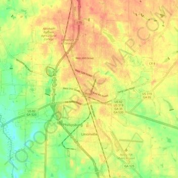
Name: Tifton topographic map, elevation, terrain.
Location: Tifton, Tift County, Georgia, USA (31.42188 -83.57683 31.49291 -83.47264)
Average elevation: 104 m
Minimum elevation: 73 m
Maximum elevation: 127 m