
Patton topographic map
Interactive map
Click on the map to display elevation.
About this map
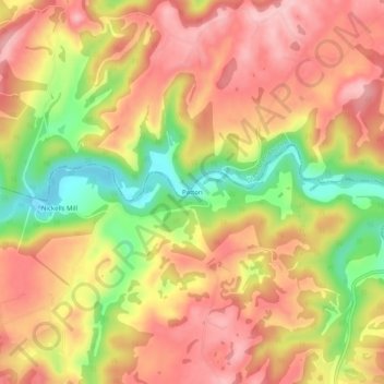
Name: Patton topographic map, elevation, terrain.
Location: Patton, Monroe County, West Virginia, USA (37.67207 -80.50757 37.71207 -80.46757)
Average elevation: 631 m
Minimum elevation: 521 m
Maximum elevation: 705 m