
O'Connor topographic map
Interactive map
Click on the map to display elevation.
About this map
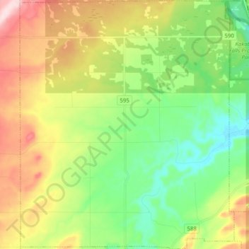
Name: O'Connor topographic map, elevation, terrain.
Location: O'Connor, Thunder Bay District, Ontario, P0T 1W0, Canada (48.31031 -89.76593 48.41329 -89.63233)
Average elevation: 321 m
Minimum elevation: 216 m
Maximum elevation: 490 m