
Steppsville topographic map
Interactive map
Click on the map to display elevation.
About this map
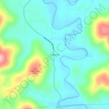
Name: Steppsville topographic map, elevation, terrain.
Location: Steppsville, Warren County, Tennessee, USA (35.52785 -85.71831 35.56785 -85.67831)
Average elevation: 328 m
Minimum elevation: 266 m
Maximum elevation: 514 m