
Rumpin topographic map
Interactive map
Click on the map to display elevation.
About this map
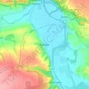
Name: Rumpin topographic map, elevation, terrain.
Location: Rumpin, Salzatal, Saalekreis, Saxony-Anhalt, Germany (51.58165 11.72935 51.62165 11.76935)
Average elevation: 106 m
Minimum elevation: 66 m
Maximum elevation: 184 m