
Bellevue topographic map
Interactive map
Click on the map to display elevation.
About this map
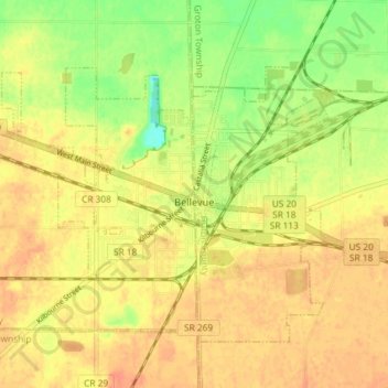
Name: Bellevue topographic map, elevation, terrain.
Location: Bellevue, Sandusky County, Ohio, 44811, USA (41.25389 -82.88853 41.29572 -82.81569)
Average elevation: 231 m
Minimum elevation: 207 m
Maximum elevation: 244 m