
Mercer County topographic map
Interactive map
Click on the map to display elevation.
About this map
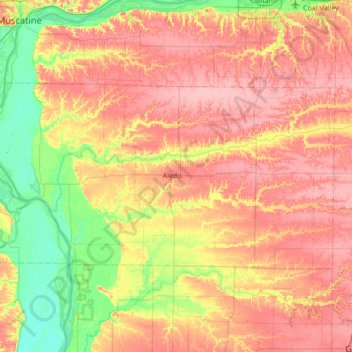
Name: Mercer County topographic map, elevation, terrain.
Location: Mercer County, Illinois, United States (41.06368 -91.11419 41.33430 -90.43468)
Average elevation: 206 m
Minimum elevation: 158 m
Maximum elevation: 251 m