
Sacheon-si topographic map
Interactive map
Click on the map to display elevation.
About this map
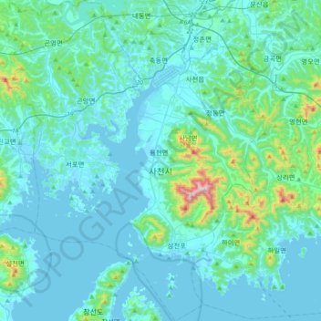
Name: Sacheon-si topographic map, elevation, terrain.
Location: Sacheon-si, South Gyeongsang, South Korea (34.86622 127.87942 35.15888 128.18456)
Average elevation: 80 m
Minimum elevation: -3 m
Maximum elevation: 767 m