
Sokodé topographic map
Interactive map
Click on the map to display elevation.
About this map
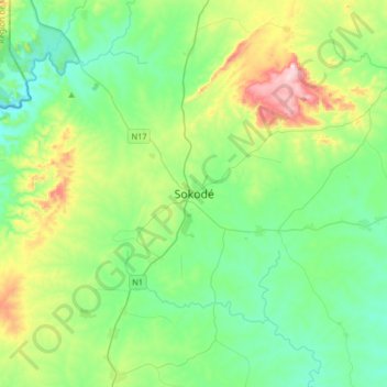
Name: Sokodé topographic map, elevation, terrain.
Location: Sokodé, Tchaoudjo, Centrale Region, Togo (8.82332 0.98381 9.14332 1.30381)
Average elevation: 398 m
Minimum elevation: 256 m
Maximum elevation: 814 m