
New Frankfort topographic map
Interactive map
Click on the map to display elevation.
About this map
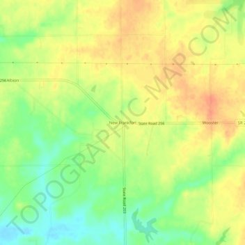
Name: New Frankfort topographic map, elevation, terrain.
Location: New Frankfort, Scott County, Indiana, 74710, USA (38.71672 -85.73108 38.75672 -85.69108)
Average elevation: 190 m
Minimum elevation: 166 m
Maximum elevation: 208 m