
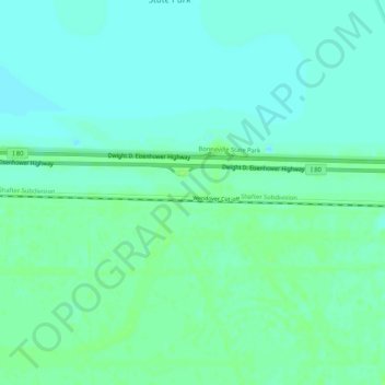
Salduro topographic map
Interactive map
Click on the map to display elevation.
About this map
Name: Salduro topographic map, elevation, terrain.
Location: Salduro, Tooele County, Utah, USA (40.71580 -113.87564 40.75580 -113.83564)
Average elevation: 1,286 m
Minimum elevation: 1,281 m
Maximum elevation: 1,291 m