
Joint Base Lewis-McChord topographic map
Interactive map
Click on the map to display elevation.
About this map
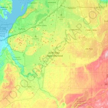
Name: Joint Base Lewis-McChord topographic map, elevation, terrain.
Location: Joint Base Lewis-McChord, Pierce County, Washington, USA (46.90147 -122.80201 47.15948 -122.36985)
Average elevation: 119 m
Minimum elevation: -3 m
Maximum elevation: 292 m