
Ban Tong Luang topographic map
Interactive map
Click on the map to display elevation.
About this map
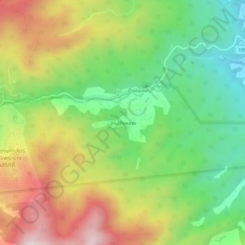
Name: Ban Tong Luang topographic map, elevation, terrain.
Location: Ban Tong Luang, Chiang Mai Province, 50180, Thailand (18.87574 98.86084 18.91574 98.90084)
Average elevation: 671 m
Minimum elevation: 369 m
Maximum elevation: 1,069 m