
Lintong topographic map
Interactive map
Click on the map to display elevation.
About this map
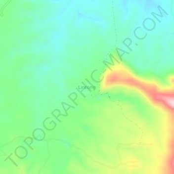
Name: Lintong topographic map, elevation, terrain.
Location: Lintong, North Sumatra, Indonesia (2.18945 99.29531 2.22945 99.33531)
Average elevation: 1,220 m
Minimum elevation: 1,128 m
Maximum elevation: 1,423 m