
Homlong topographic map
Interactive map
Click on the map to display elevation.
About this map
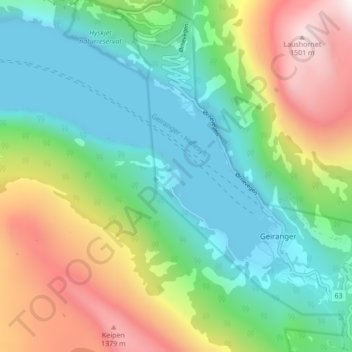
Name: Homlong topographic map, elevation, terrain.
Location: Homlong, Stranda, Møre og Romsdal, 6216, Norway (62.08741 7.16138 62.12741 7.20138)
Average elevation: 513 m
Minimum elevation: -7 m
Maximum elevation: 1,563 m