
Ebor topographic map
Interactive map
Click on the map to display elevation.
About this map
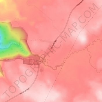
Name: Ebor topographic map, elevation, terrain.
Average elevation: 1,295 m
Minimum elevation: 1,029 m
Maximum elevation: 1,360 m
Other topographic maps
Click on a map to view its topography, its elevation and its terrain.
Cathedral Rock
Australia > New South Wales > Ebor
Cathedral Rock, Cathedral Rock Summit Track, Ebor, Armidale Regional Council, New South Wales, 2453, Australia
Average elevation: 1,441 m
Styx River
Australia > New South Wales > Ebor
Styx River, Ebor, Armidale Regional Council, New South Wales, 2453, Australia
Average elevation: 1,342 m