
Redbank topographic map
Interactive map
Click on the map to display elevation.
About this map
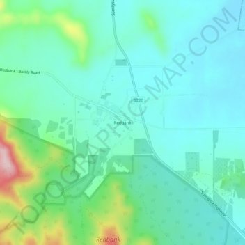
Name: Redbank topographic map, elevation, terrain.
Location: Redbank, Shire of Pyrenees, Grampians, Victoria, Australia (-36.95888 143.30816 -36.91888 143.34816)
Average elevation: 299 m
Minimum elevation: 244 m
Maximum elevation: 497 m
Other topographic maps
Click on a map to view its topography, its elevation and its terrain.