
Wild Cattle Island National Park topographic map
Interactive map
Click on the map to display elevation.
About this map
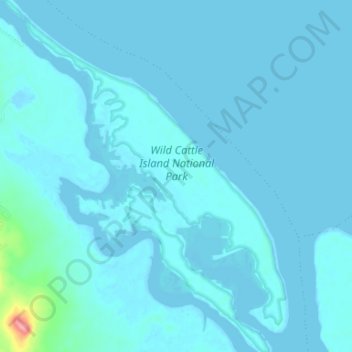
Name: Wild Cattle Island National Park topographic map, elevation, terrain.
Average elevation: 6 m
Minimum elevation: -1 m
Maximum elevation: 101 m
Other topographic maps
Click on a map to view its topography, its elevation and its terrain.
Tannum Sands
Australia > Queensland > Tannum Sands
Tannum Sands, Gladstone Regional, Queensland, Australia
Average elevation: 9 m