
Red Range topographic map
Interactive map
Click on the map to display elevation.
About this map
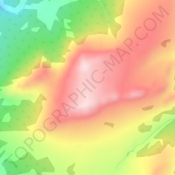
Name: Red Range topographic map, elevation, terrain.
Location: Red Range, Yukon, Unorganized, Yukon, Canada (60.04296 -134.04305 60.04306 -134.04295)
Average elevation: 1,327 m
Minimum elevation: 1,105 m
Maximum elevation: 1,495 m
Other topographic maps
Click on a map to view its topography, its elevation and its terrain.