
Denman topographic map
Interactive map
Click on the map to display elevation.
About this map
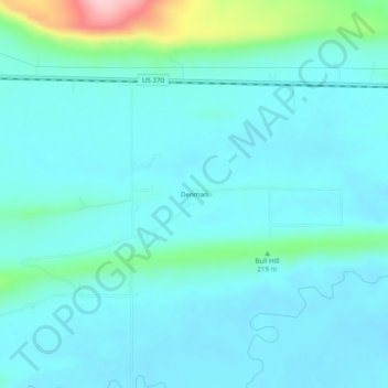
Name: Denman topographic map, elevation, terrain.
Location: Denman, Latimer County, Oklahoma, United States (34.91788 -95.04524 34.95788 -95.00524)
Average elevation: 182 m
Minimum elevation: 154 m
Maximum elevation: 341 m