
Grand Ridge topographic map
Interactive map
Click on the map to display elevation.
About this map
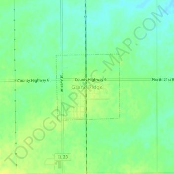
Name: Grand Ridge topographic map, elevation, terrain.
Location: Grand Ridge, LaSalle County, Illinois, United States (41.23102 -88.83762 41.24122 -88.82453)
Average elevation: 196 m
Minimum elevation: 187 m
Maximum elevation: 205 m