
Chert topographic map
Interactive map
Click on the map to display elevation.
About this map
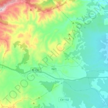
Name: Chert topographic map, elevation, terrain.
Location: Chert, Bajo Maestrazgo, Castellón, Comunidad Valenciana, España (40.47978 0.07765 40.58659 0.20608)
Average elevation: 541 m
Minimum elevation: 288 m
Maximum elevation: 1,270 m