
Baklatepe topographic map
Interactive map
Click on the map to display elevation.
About this map
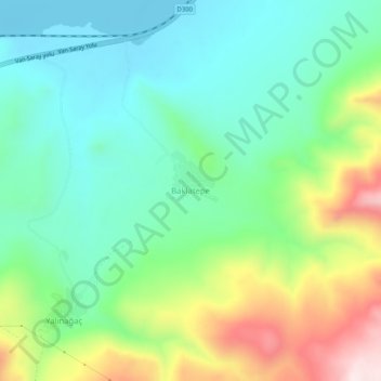
Name: Baklatepe topographic map, elevation, terrain.
Location: Baklatepe, İpekyolu, Van, Eastern Anatolia Region, Turkey (38.56888 43.56348 38.60888 43.60348)
Average elevation: 1,968 m
Minimum elevation: 1,801 m
Maximum elevation: 2,337 m