
Schifflange topographic map
Interactive map
Click on the map to display elevation.
About this map
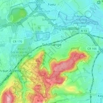
Name: Schifflange topographic map, elevation, terrain.
Location: Schifflange, Canton Esch-sur-Alzette, Luxembourg (49.48329 5.99327 49.52374 6.04116)
Average elevation: 309 m
Minimum elevation: 273 m
Maximum elevation: 405 m