
Halls Creek topographic map
Interactive map
Click on the map to display elevation.
About this map
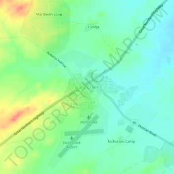
Name: Halls Creek topographic map, elevation, terrain.
Location: Halls Creek, Western Australia, Australia (-18.24486 127.64833 -18.20486 127.68833)
Average elevation: 412 m
Minimum elevation: 394 m
Maximum elevation: 447 m