
Riverton topographic map
Interactive map
Click on the map to display elevation.
About this map
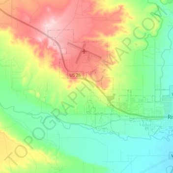
Name: Riverton topographic map, elevation, terrain.
Location: Riverton, Fremont County, Wyoming, USA (43.00873 -108.48887 43.07737 -108.34619)
Average elevation: 1,579 m
Minimum elevation: 1,500 m
Maximum elevation: 1,713 m