
Lukulu topographic map
Interactive map
Click on the map to display elevation.
About this map
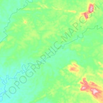
Name: Lukulu topographic map, elevation, terrain.
Location: Lukulu, Pangi, Maniema, Democratic Republic of the Congo (-2.78619 26.38931 -2.70707 26.51718)
Average elevation: 557 m
Minimum elevation: 486 m
Maximum elevation: 761 m