
Dokan topographic map
Interactive map
Click on the map to display elevation.
About this map
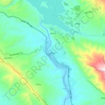
Name: Dokan topographic map, elevation, terrain.
Location: Dokan, Sulaymaniyah, Iraqi Kurdistan, Iraq (35.89064 44.92294 35.97064 45.00294)
Average elevation: 639 m
Minimum elevation: 400 m
Maximum elevation: 1,480 m