
Coorow topographic map
Interactive map
Click on the map to display elevation.
About this map
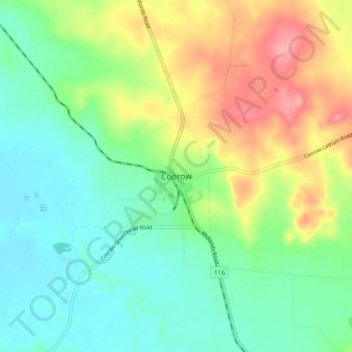
Name: Coorow topographic map, elevation, terrain.
Location: Coorow, Western Australia, 6515, Australia (-29.92023 115.98034 -29.84023 116.06034)
Average elevation: 274 m
Minimum elevation: 240 m
Maximum elevation: 336 m