
Walai topographic map
Interactive map
Click on the map to display elevation.
About this map
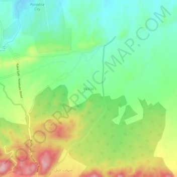
Name: Walai topographic map, elevation, terrain.
Location: Walai, Peshāwar District, Khyber Pakhtunkhwa, Pakistan (33.93001 72.03753 33.97001 72.07753)
Average elevation: 450 m
Minimum elevation: 375 m
Maximum elevation: 573 m