
Maumee River topographic map
Interactive map
Click on the map to display elevation.
About this map
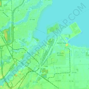
Name: Maumee River topographic map, elevation, terrain.
Location: Maumee River, Oregon, Lucas County, Ohio, 43434, USA (41.66023 -83.51224 41.72376 -83.40658)
Average elevation: 178 m
Minimum elevation: 170 m
Maximum elevation: 201 m
Other topographic maps
Click on a map to view its topography, its elevation and its terrain.
Maumee Bay
Maumee Bay, Lilias Drive, Oregon, Lucas County, Ohio, 43618, USA
Average elevation: 172 m