
Kenmare topographic map
Interactive map
Click on the map to display elevation.
About this map
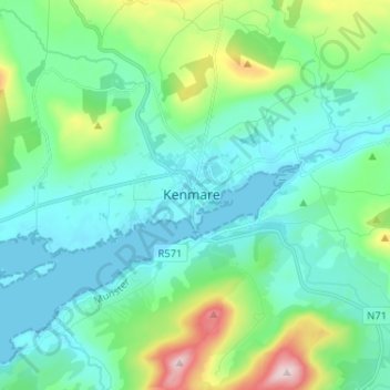
Name: Kenmare topographic map, elevation, terrain.
Location: Kenmare, County Kerry, Munster, V93 XV65, Ireland (51.83904 -9.62264 51.91904 -9.54264)
Average elevation: 87 m
Minimum elevation: 0 m
Maximum elevation: 423 m